


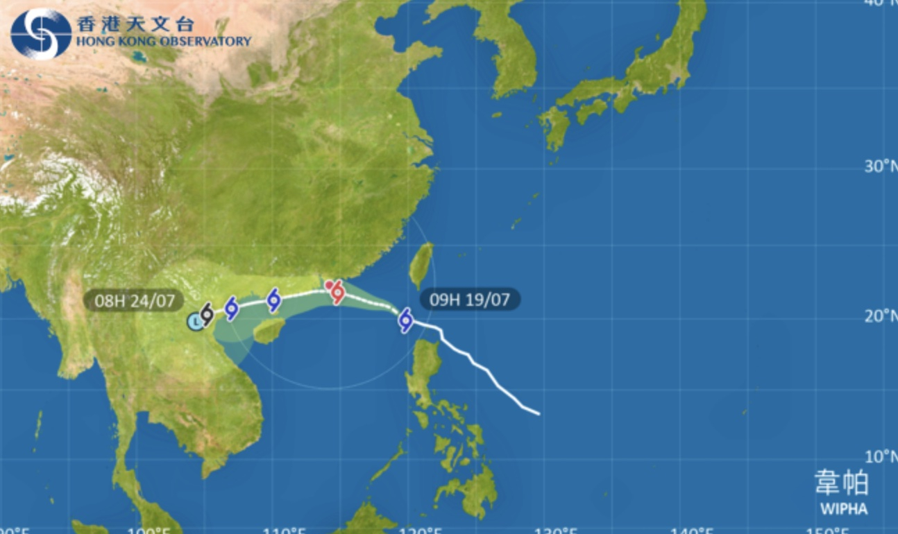
The Hong Kong Observatory said on Saturday it will raise the Strong Wind Signal No 3 at 2.20pm.
Wipha is moving steadily across the northeastern part of the South China Sea, according to the present forecast and expected to intensify continuously.
The storm will then edge towards the vicinity of the Pearl River Estuary.
Hong Kong will see heavy showers, thunderstorms and strong winds later in the day, the weather watchdog said.
The forecaster added that it may, depending on the distance between Wipha and the Pearl River Estuary, issue higher typhoon signals on Sunday, when the storm is expected to be nearest to Hong Kong.
T3 strong wind signal set for 2.20pm on Saturday
2025-07-19 HKT 10:16
Share this story


