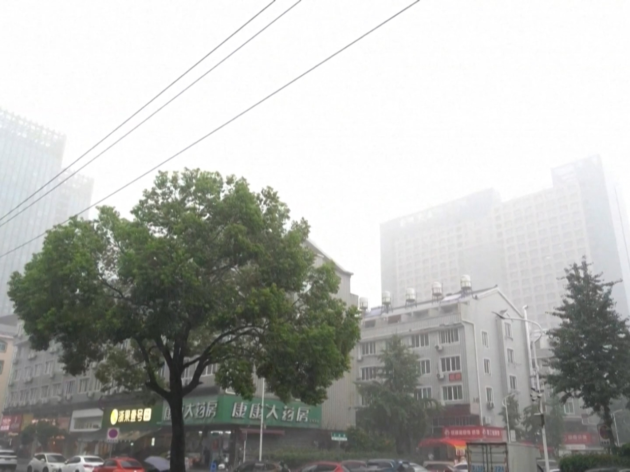
Hainan and Guangdong were plunged into high alert as Typhoon Wipha entered the South China Sea, bringing strong gales and heavy rains to the two provinces.
Hainan activated a Level IV emergency response at 9am on Saturday, while Guangdong upgraded its emergency response from Level IV to Level II at 11am.
According to the Hainan Meteorological Service, Typhoon Wipha intensified from a tropical storm to a strong tropical storm in the early hours of Saturday.
At 8am, its center was located in the northeastern part of the South China Sea approximately 930 kilometers east of Wenchang City on Hainan.
The Hainan Meteorological Service estimated that Wipha is advancing northwest at approximately 20 kilometres per hour while gaining strength.
It is likely to make landfall between Shenzhen and Wenchang sometime in the afternoon or night on Sunday .
Due to its impact, most sea areas and land regions in Hainan will experience rainstorms and strong winds from Saturday to Tuesday.
During that period, the Qiongzhou Strait between Guangdong and Hainan may face prolonged suspensions of shipping operations.
Haikou, the capital city of Hainan, may experience severe waterlogging.
Guangdong is bracing for strong thunderstorms, gales and tidal waves.
The province has put specialized rescue vessels and helicopters, along with high-power tugboats and cleanup vessels, on standby.
China has a four-tier emergency response system for typhoons, with Level I being the most severe. (Xinhua)


