


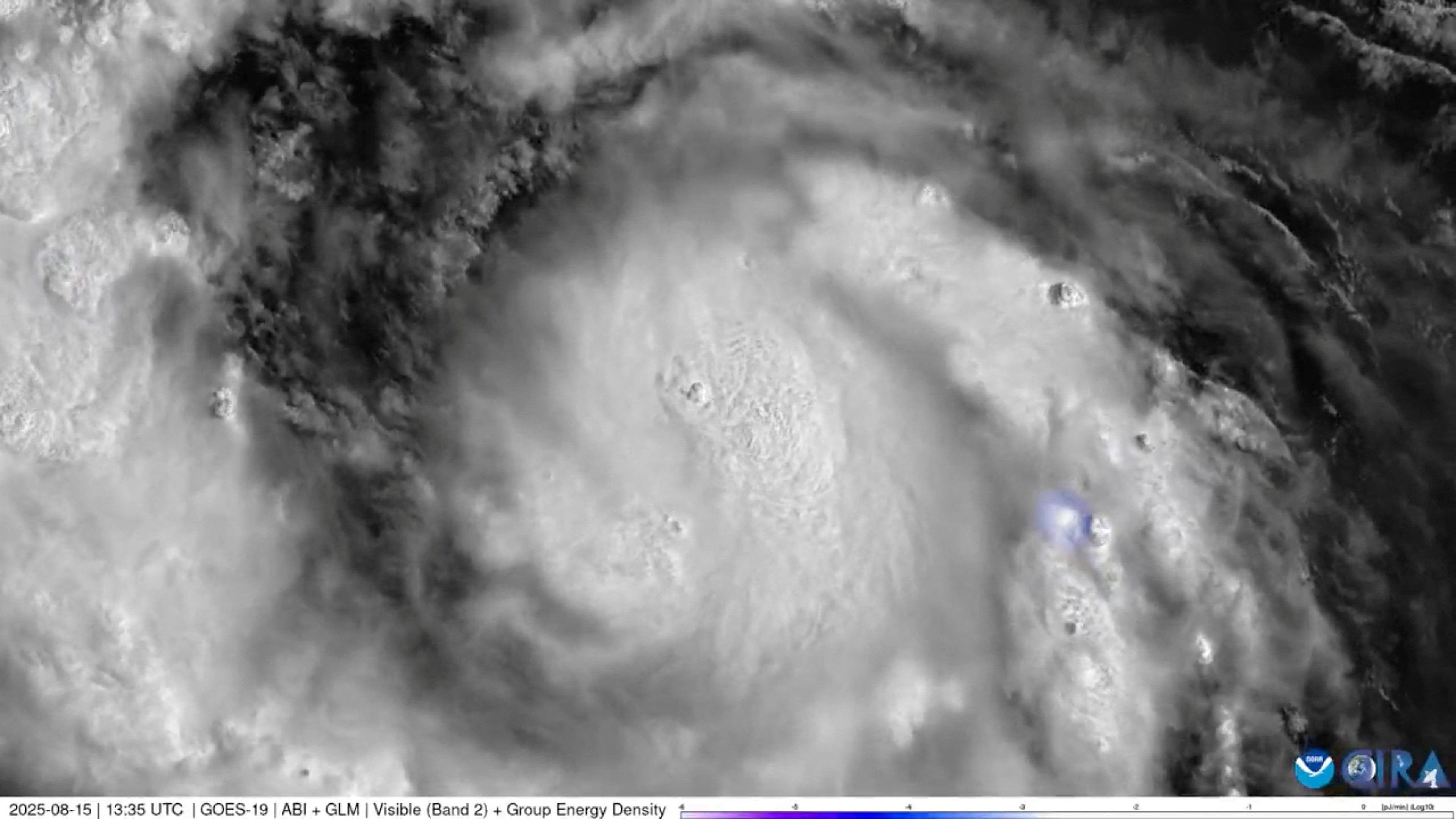
Hurricane Erin on Saturday strengthened to a "catastrophic" Category 5 storm as it barrelled towards the Caribbean, with weather officials warning of possible flash floods and landslides.
The US National Hurricane Center (NHC) said in its latest report the storm's maximum sustained winds had increased to 255 kilometres per hour by 11.20 am ET, or 11.20 pm Hong Kong time.
Erin, the first hurricane of the Atlantic season this year, was located about 170 kilometres northeast of Anguilla in the northern Leeward Islands, an area that includes the US and British Virgin Islands.
The agency warned of "locally considerable flash and urban flooding, along with landslides or mudslides."
Swells generated by Erin will affect portions of the northern Leeward Islands, Virgin Islands, Puerto Rico, Hispaniola and the Turks and Caicos Islands through the weekend.
Those swells will spread to the Bahamas, Bermuda and the US East Coast early next week, creating "life-threatening surf and rip currents," the NHC said.
The hurricane is forecast to turn northward by late Sunday.
While meteorologists have expressed confidence that Erin will remain well off the US coastline, they said the storm could still cause dangerous waves and erosion in places such as North Carolina. (AFP)
Hurricane Erin strengthens to category 5 storm
2025-08-17 HKT 08:20
Share this story


