


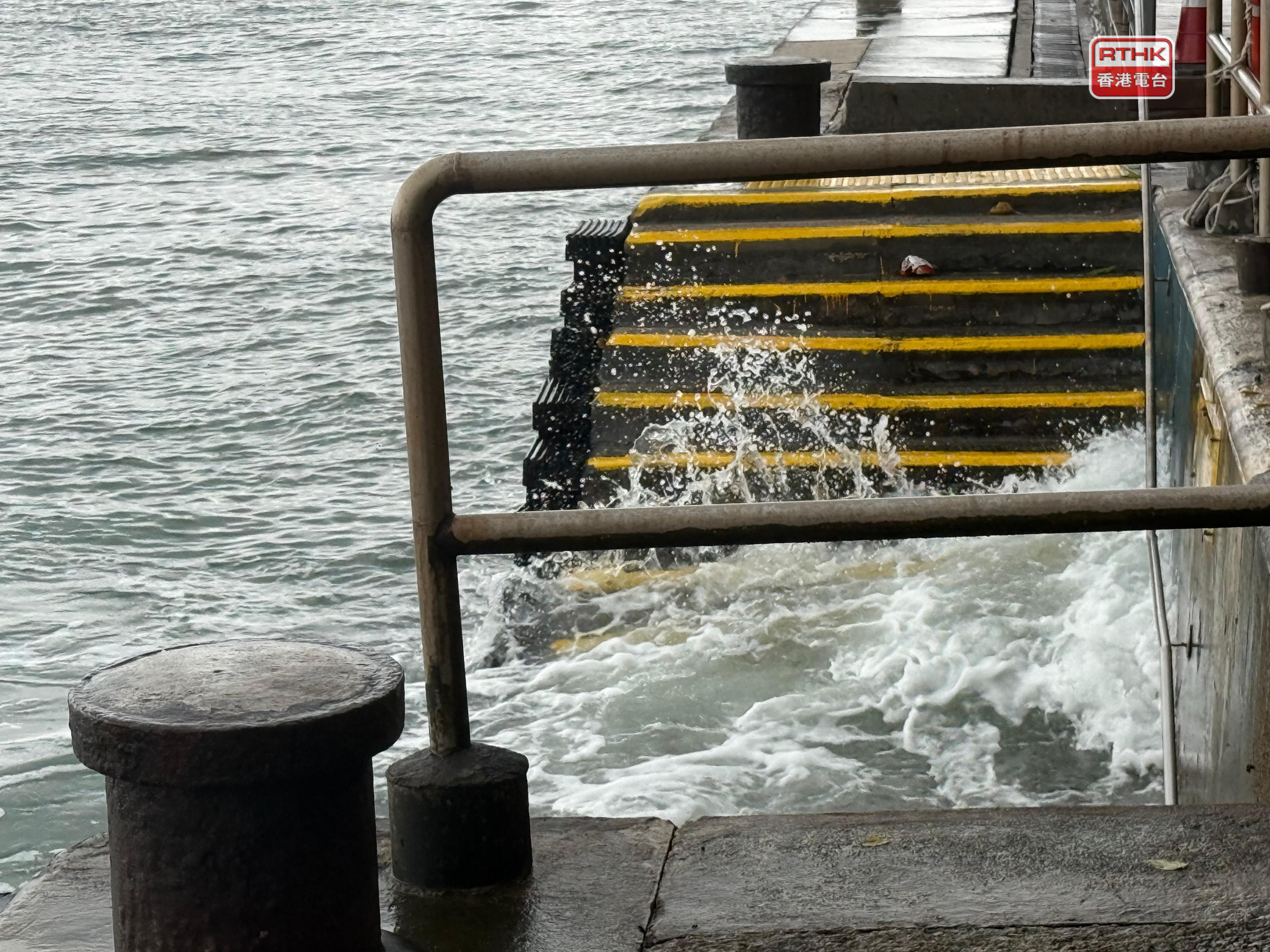
Hong Kong is in its annual typhoon season and meteorological conditions over the South China Sea are ideal for the development of tropical cyclones like Tapah, according to a meteorologist on Monday.
Leung Wing-mo, a spokesman for the Hong Kong Meteorological Society, said that sea surface temperatures have soared to approximately 30 degrees - well above the 26-degree threshold needed for cyclone formation.
He said these warm waters are being enhanced by a combination of favourable counter-clockwise airflows, atmospheric instability that promotes convection and high-altitude air divergence, creating a perfect environment for storms to intensify.
Leung also said that typhoons are normal for Hong Kong during its annual season, which runs from June to early October.
"It's not easy to forecast a long time ahead, but if we use the available information, there could be perhaps development of a low-pressure system within the next two weeks," he said.
"Whether that will turn into another tropical cyclone is very difficult to say. But I want to stress that the typhoon season is not yet over, so I'm not surprised to see that there are some other tropical cyclones coming to our way.
"As a matter of fact, during the late season, a very strong tropical cyclone can still develop in the western Pacific where the sea surface temperature is very high."
Looking to the future, Leung projected that while the number of typhoons may remain consistent, their intensity could increase.
He emphasised the need for both authorities and the public to be vigilant, as stronger storms bring the potential for severe rainfall, flooding and landslides.
He stressed the importance of enhanced adaptation strategies, such as constructing stronger seawalls and improving drainage systems, to better protect against the impact of future typhoons.
'Ideal conditions for storms like Tapah to develop'
2025-09-08 HKT 10:14
Share this story


