


The Standby Signal No. 1 will remain in force for the rest of Thursday, according to the observatory.
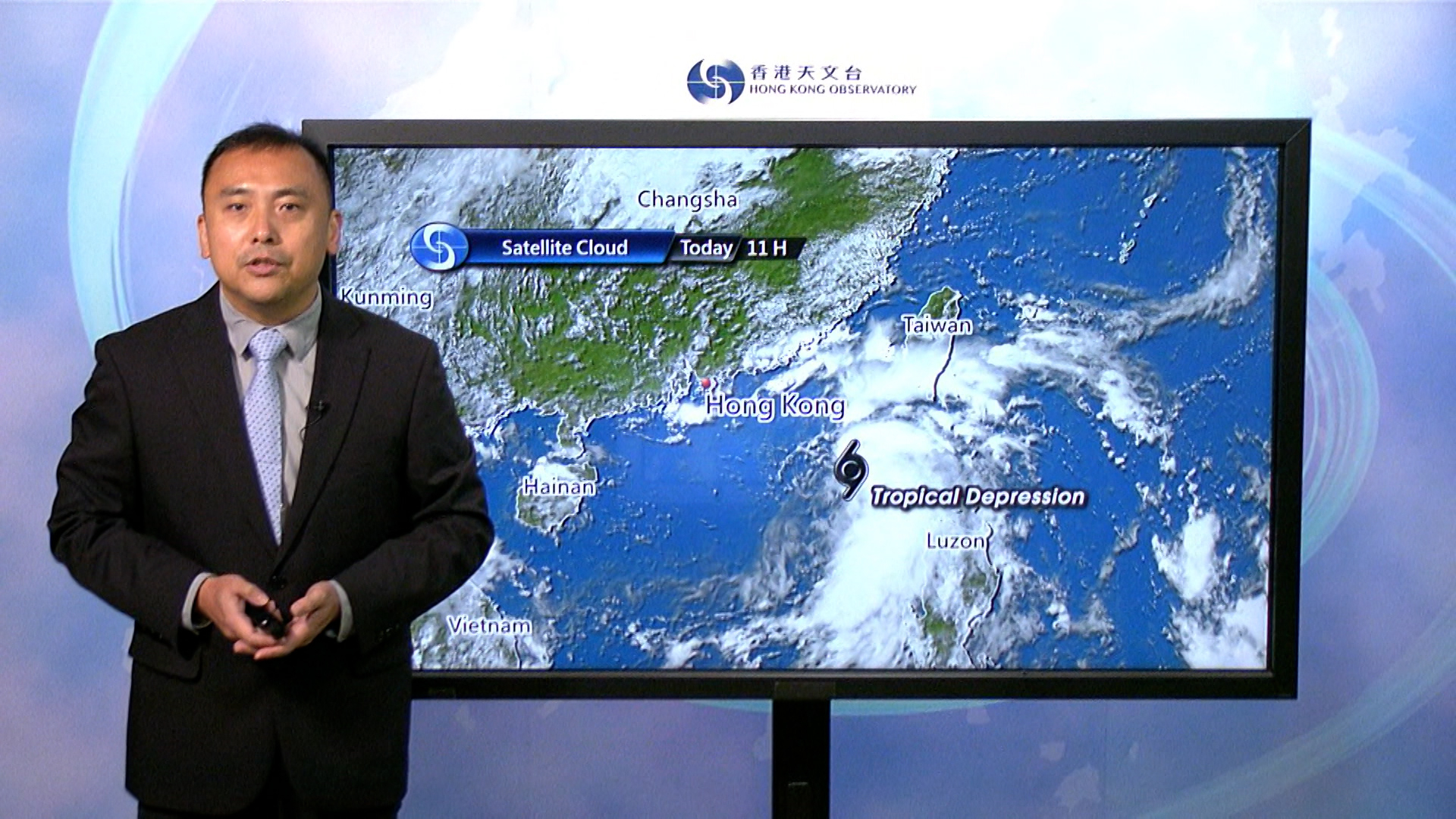
"The circulation of the tropical cyclone is relatively small and it will maintain a distance of about 300km or more from Hong Kong for most of the time," the forecaster said.
It did not rule out the possibility of higher warning signals on Friday.
"According to the present forecast, the tropical cyclone will intensify gradually while edging closer to the coast of eastern Guangdong today and tomorrow," acting senior scientific officer Shum Chi-tai said.
"Under the influence of the northeast monsoon, it will then turn westwards, moving closer to the vicinity of the Pearl River Estuary."
Its landfall position and intensity remain uncertain, Shum added.
The weather will be unsettled starting on Friday, when winds strengthen and showers become more frequent.
Conditions are expected to improve briefly early next week but they deteriorate again, when a separate, stronger tropical cyclone approaches, potentially triggering a storm surge.
T1 to remain for the rest of Thursday
2025-09-18 HKT 12:33
Share this story


