


The Standby Signal No 1 will remain in force until at least 9am on Friday, according to the Observatory, as Tropical Storm Mitag edges closer to Hong Kong.
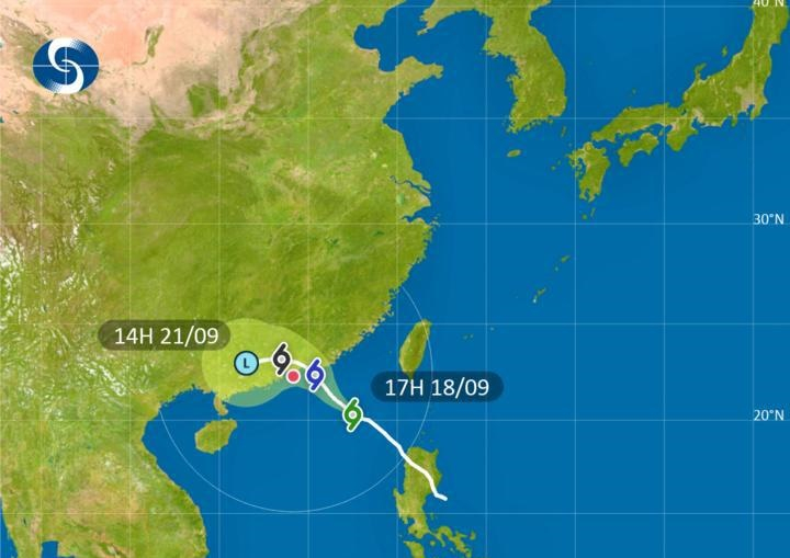
At 6pm, Mitag was about 400 kilometres east-southeast of the SAR and was forecast to move northwest at about 18 kilometres per hour towards the coast of eastern Guangdong.
The Observatory said the storm is expected to intensify gradually, and under the influence of the northeast monsoon it will turn westwards, edging closer to the vicinity of the Pearl River Estuary.
But forecasters also said there are uncertainties in Mitag's landfall location and intensity.
The Observatory said it will assess the need of issuing higher signals during the day on Friday, depending on the storm's intensity, the distance of its persistent strong winds from Hong Kong and the change in local wind conditions.
Showers are expected to increase gradually on Friday, and there'll be occasional squally showers and thunderstorms on Saturday.
T1 until at least 9am on Friday
2025-09-18 HKT 18:33
Share this story


