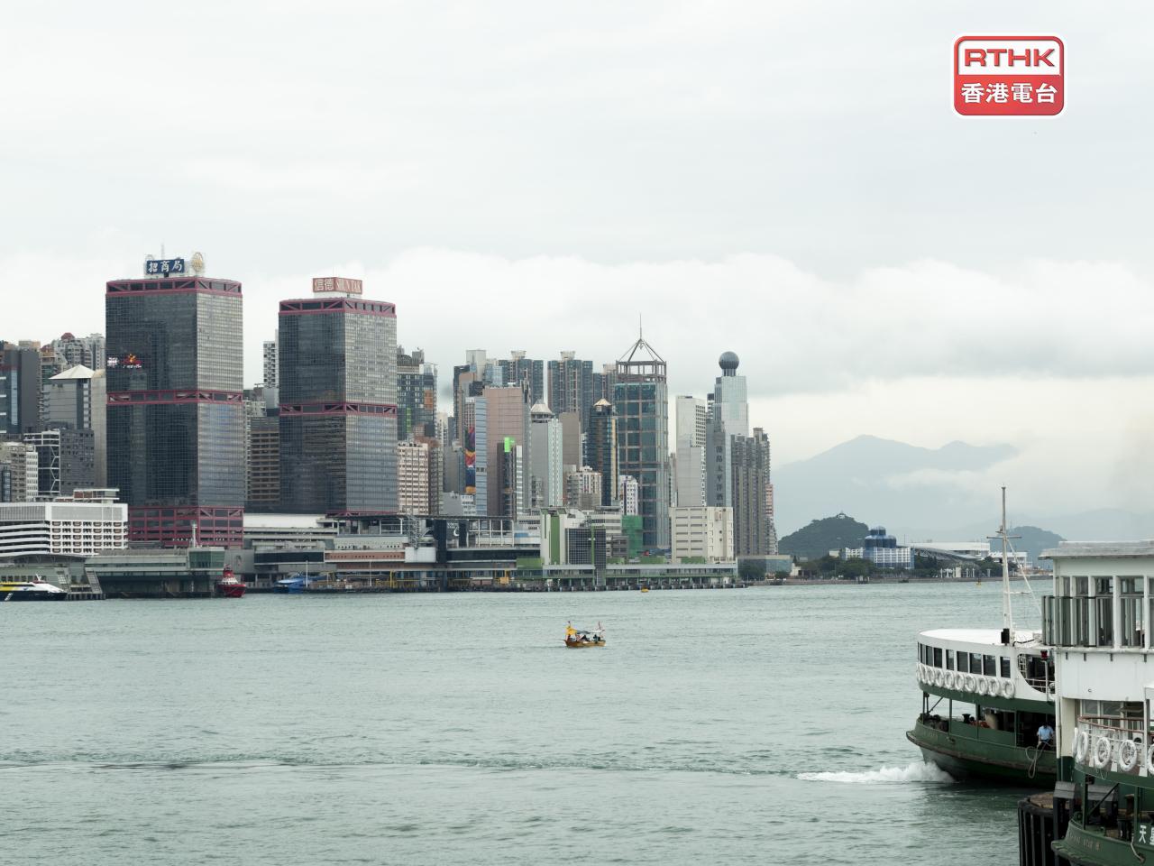
As Hong Kong braces for the Gale or Storm Signal No. 8 at 2.20pm on Tuesday, the observatory said it will assess whether it needs to issue higher warning signals later at night to early on Wednesday.
The "Pre-No. 8 Special Announcement" will be issued two hours ahead of the No. 8 warning.
The forecaster said it expects Ragasa to maintain super typhoon intensity, and it will be closest to the vicinity of the Pearl River Estuary on Wednesday morning.
It was estimated to be about 520km east-southeast of the SAR as of 7am.
"Under the influence of a significant storm surge, there will be a rise in water level of about 2 metres over coastal areas of Hong Kong tomorrow morning," senior scientific officer Lee Shuk-ming said.
"The maximum water level can generally reach around 3.5 to 4 metres above chart datum, and the water level at Tolo Harbour may even reach 4 to 5 metres above chart datum."
She went on to say that the weather will be persistently adverse on Wednesday.
While gale to storm force winds will prevail, winds may reach hurricane force offshore and on high ground, Lee added.
The observatory called on residents to stay away from the shoreline and not to participate in water sports, as seas will be very high with swells.


