


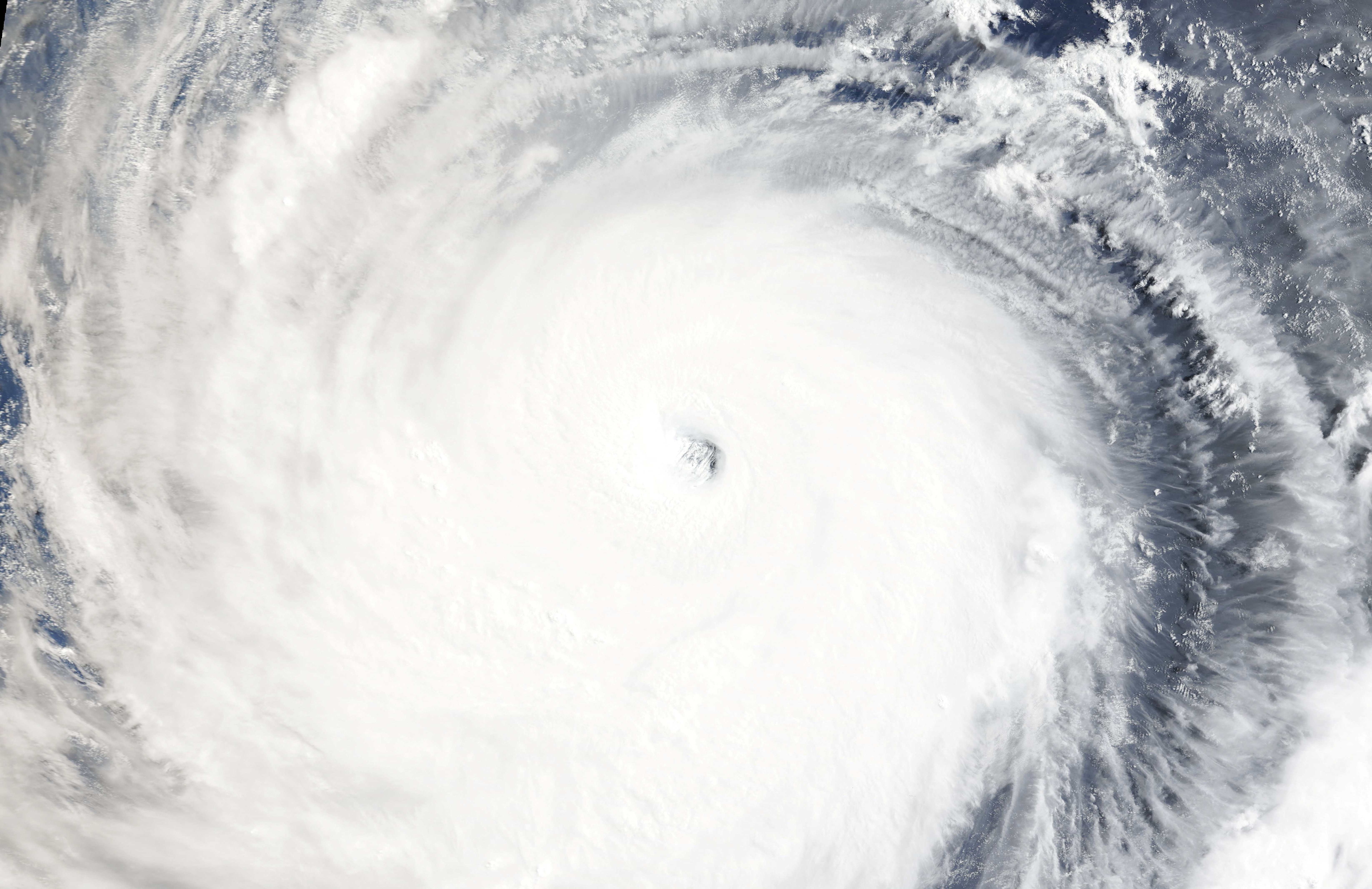
The nation is bracing for possibly the most destructive tropical storm in years as Typhoon Bavi churned southeast of Taiwan on Thursday, with winds near 200 kilometres per hour.
Bavi, currently about 1,000km at its widest point or roughly the width of France, is forecast to skirt the northern part of the island before making landfall in Fujian on Saturday evening, according to the National Meteorological Center.
China and Japan are increasingly exposed to destructive weather events that scientists link to climate change. This year is of particular concern because the expected emergence of El Nino could drive up temperatures and help fuel more frequent and intense typhoons.
If Bavi maintains its forecast intensity, it would be the most powerful typhoon since Super Typhoon Kong-rey in 2024, according to AccuWeather, a commercial weather forecasting service.
In Japan, residents of Okinawa prefecture were warned by the country's meteorological agency to remain on high alert on Friday and Saturday for violent winds, landslides, flooding and storm surges.
The remnants of Typhoon Maysak, which hit the mainland earlier, had spawned at least two inland tornadoes and major flooding in Hubei province. (Reuters)
Edited by Aaron Tam
Nation braces as Bavi set to be worst storm since 2024
2026-07-09 HKT 14:18
Share this story


